Victoria Road, Yeovil
Introduction
The photograph on this page of Victoria Road, Yeovil by Jaggery as part of the Geograph project.
The Geograph project started in 2005 with the aim of publishing, organising and preserving representative images for every square kilometre of Great Britain, Ireland and the Isle of Man.

There are currently over 7.5m images from over 14,400 individuals and you can help contribute to the project by visiting https://www.geograph.org.uk
Victoria Road, Yeovil
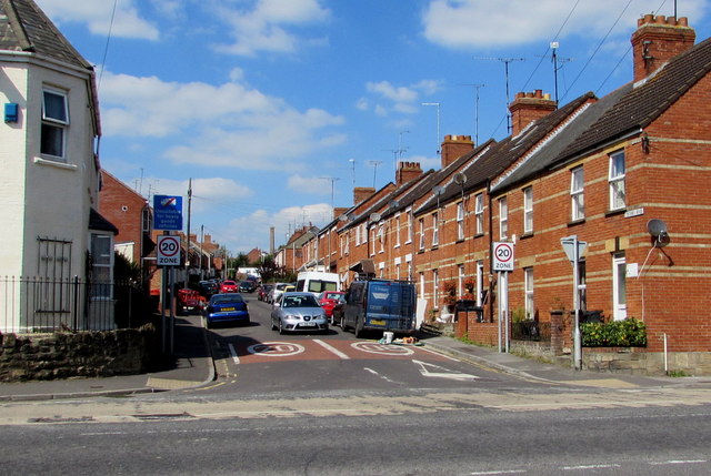
Image: © Jaggery Taken: 10 Sep 2015
Viewed across Lyde Road from the corner of Camborne Grove. A 20mph zone is in force on the approach to a school. The blue sign on the left shows that Victoria Road is unsuitable for heavy goods vehicles.
Images are licensed for reuse under creativecommons.org/licenses/by-sa/2.0
Image Location
Latitude
50.946675
Longitude
-2.615022