Hickman's Lane, Lindfield
Introduction
The photograph on this page of Hickman's Lane, Lindfield by Simon Carey as part of the Geograph project.
The Geograph project started in 2005 with the aim of publishing, organising and preserving representative images for every square kilometre of Great Britain, Ireland and the Isle of Man.

There are currently over 7.5m images from over 14,400 individuals and you can help contribute to the project by visiting https://www.geograph.org.uk
Hickman's Lane, Lindfield
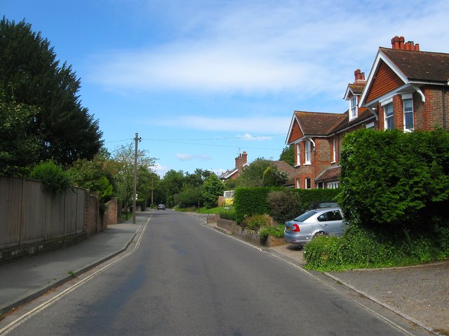
Image: © Simon Carey Taken: 6 Sep 2015
An old highway that predates the growth of urban Lindfield which once linked the High street to the former West Common. Now runs in an arc from the former to rejoin the B2028 to the south at Black Hill. The Edwardian town houses on the right are Warren Croft and Lyndhurst.
Images are licensed for reuse under creativecommons.org/licenses/by-sa/2.0
Image Location
Latitude
51.014741
Longitude
-0.081684