Wastor Cross
Introduction
The photograph on this page of Wastor Cross by Derek Harper as part of the Geograph project.
The Geograph project started in 2005 with the aim of publishing, organising and preserving representative images for every square kilometre of Great Britain, Ireland and the Isle of Man.

There are currently over 7.5m images from over 14,400 individuals and you can help contribute to the project by visiting https://www.geograph.org.uk
Wastor Cross
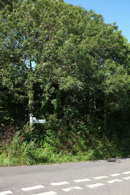
Image: © Derek Harper Taken: 27 Aug 2015
At a T junction of lanes in an obscure bit of the South Hams. To clarify the names on the sign: right for Wastor and Shearlangstone, 1 mile to Kingston behind the camera. The signpost isn't prepared to tell you where you get to if you choose to turn left; looking at the map I can see why. However, if you wanted to go to Oldaport or Orcheton it could be the ideal route.
Images are licensed for reuse under creativecommons.org/licenses/by-sa/2.0
Image Location
Latitude
50.324728
Longitude
-3.907709