Farmland near Lixton
Introduction
The photograph on this page of Farmland near Lixton by Derek Harper as part of the Geograph project.
The Geograph project started in 2005 with the aim of publishing, organising and preserving representative images for every square kilometre of Great Britain, Ireland and the Isle of Man.

There are currently over 7.5m images from over 14,400 individuals and you can help contribute to the project by visiting https://www.geograph.org.uk
Farmland near Lixton
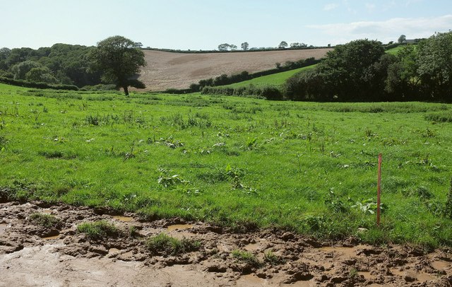
Image: © Derek Harper Taken: 27 Aug 2015
From the lane to Langdon Cross. A stream follows the field boundary on the right; its valley can be seen further down its course in Image
Images are licensed for reuse under creativecommons.org/licenses/by-sa/2.0
Image Location
Latitude
50.339123
Longitude
-3.834786