Ham Lane, Scaynes Hill
Introduction
The photograph on this page of Ham Lane, Scaynes Hill by Simon Carey as part of the Geograph project.
The Geograph project started in 2005 with the aim of publishing, organising and preserving representative images for every square kilometre of Great Britain, Ireland and the Isle of Man.

There are currently over 7.5m images from over 14,400 individuals and you can help contribute to the project by visiting https://www.geograph.org.uk
Ham Lane, Scaynes Hill
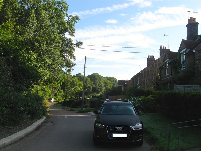
Image: © Simon Carey Taken: 22 Aug 2015
Ham Lane runs from Lewes Road, Scaynes Hill in the north to Slugwash Lane a couple of miles to the south in the parish of Wivelsfield. However, only the section to Awbrook Farm is open to vehicles beyond it becomes a footpath. The houses on the right were erected in the 1900s. Strawberry Wood is on the left.
Images are licensed for reuse under creativecommons.org/licenses/by-sa/2.0
Image Location
Latitude
50.991133
Longitude
-0.05715