Lower Town Mead/White Way Field
Introduction
The photograph on this page of Lower Town Mead/White Way Field by Simon Carey as part of the Geograph project.
The Geograph project started in 2005 with the aim of publishing, organising and preserving representative images for every square kilometre of Great Britain, Ireland and the Isle of Man.

There are currently over 7.5m images from over 14,400 individuals and you can help contribute to the project by visiting https://www.geograph.org.uk
Lower Town Mead/White Way Field
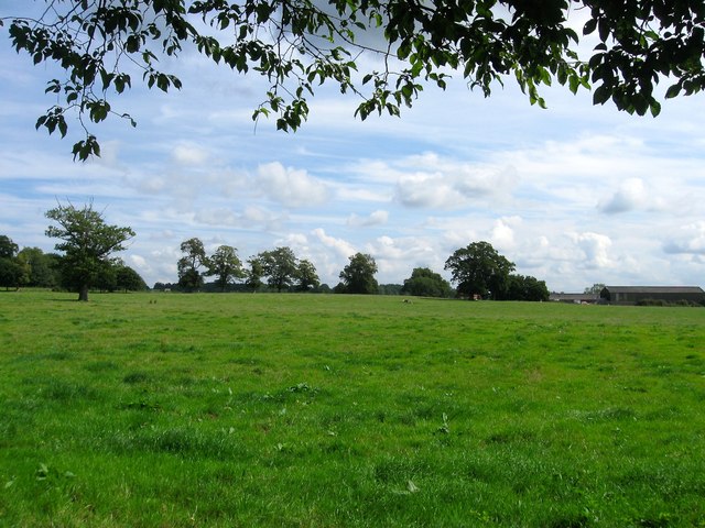
Image: © Simon Carey Taken: 15 Aug 2015
The name of the fields according to Lindfield's 1845 tithe map that have been combined to form a larger unit. See Image and Image for alternative views. To the north west is Image to the south beyond Image is Image whilst the buildings at the far side of the field are Image
Images are licensed for reuse under creativecommons.org/licenses/by-sa/2.0
Image Location
Latitude
51.014858
Longitude
-0.072412