Ratby: southern end of Main Street
Introduction
The photograph on this page of Ratby: southern end of Main Street by Richard Law as part of the Geograph project.
The Geograph project started in 2005 with the aim of publishing, organising and preserving representative images for every square kilometre of Great Britain, Ireland and the Isle of Man.

There are currently over 7.5m images from over 14,400 individuals and you can help contribute to the project by visiting https://www.geograph.org.uk
Ratby: southern end of Main Street
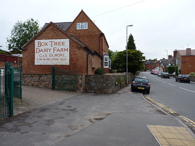
Image: © Richard Law Taken: 28 Jul 2015
The ghost sign of a former dairy business at the farm, which was recently repainted by new owners. This photo http://cdm16445.contentdm.oclc.org/cdm/ref/collection/p15407coll4/id/180 on the University of Leicester website shows the pre-restoration version, dating from a time under different ownership.
Images are licensed for reuse under creativecommons.org/licenses/by-sa/2.0
Image Location
Latitude
52.647264
Longitude
-1.245717