Lane to Button Bridge
Introduction
The photograph on this page of Lane to Button Bridge by Hugh Craddock as part of the Geograph project.
The Geograph project started in 2005 with the aim of publishing, organising and preserving representative images for every square kilometre of Great Britain, Ireland and the Isle of Man.

There are currently over 7.5m images from over 14,400 individuals and you can help contribute to the project by visiting https://www.geograph.org.uk
Lane to Button Bridge
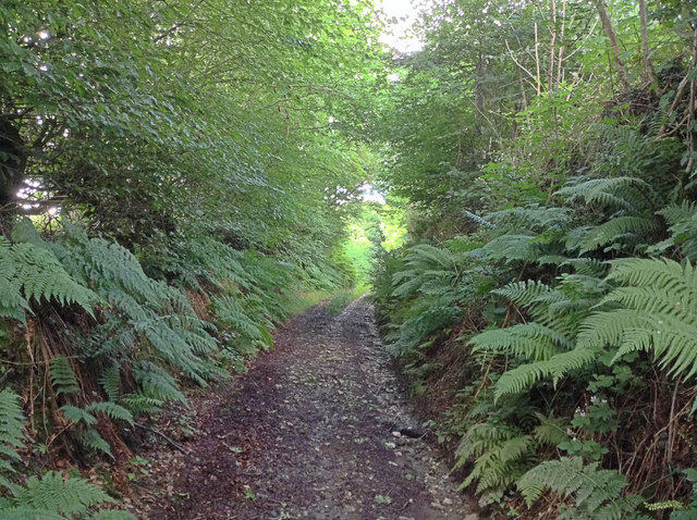
Image: © Hugh Craddock Taken: 29 Jul 2015
The unsealed and sunken public road to Button Bridge and Bratton Fleming behind Smythapark Farm.
Images are licensed for reuse under creativecommons.org/licenses/by-sa/2.0
Image Location


Leaflet Map data © OpenStreetMap
Latitude
51.136913
Longitude
-3.963872