Lane at Rear of Syr-Dafydd Avenue, Oakdale
Introduction
The photograph on this page of Lane at Rear of Syr-Dafydd Avenue, Oakdale by M J Roscoe as part of the Geograph project.
The Geograph project started in 2005 with the aim of publishing, organising and preserving representative images for every square kilometre of Great Britain, Ireland and the Isle of Man.

There are currently over 7.5m images from over 14,400 individuals and you can help contribute to the project by visiting https://www.geograph.org.uk
Lane at Rear of Syr-Dafydd Avenue, Oakdale
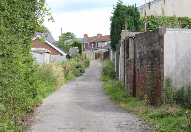
Image: © M J Roscoe Taken: 16 Aug 2015
Viewed from junction; new housing estate to left. The row of houses, centre background, is part of Brynhoward Terrace.
Images are licensed for reuse under creativecommons.org/licenses/by-sa/2.0
Image Location
Latitude
51.680833
Longitude
-3.173537