Brook Lane, Lindfield
Introduction
The photograph on this page of Brook Lane, Lindfield by Simon Carey as part of the Geograph project.
The Geograph project started in 2005 with the aim of publishing, organising and preserving representative images for every square kilometre of Great Britain, Ireland and the Isle of Man.

There are currently over 7.5m images from over 14,400 individuals and you can help contribute to the project by visiting https://www.geograph.org.uk
Brook Lane, Lindfield
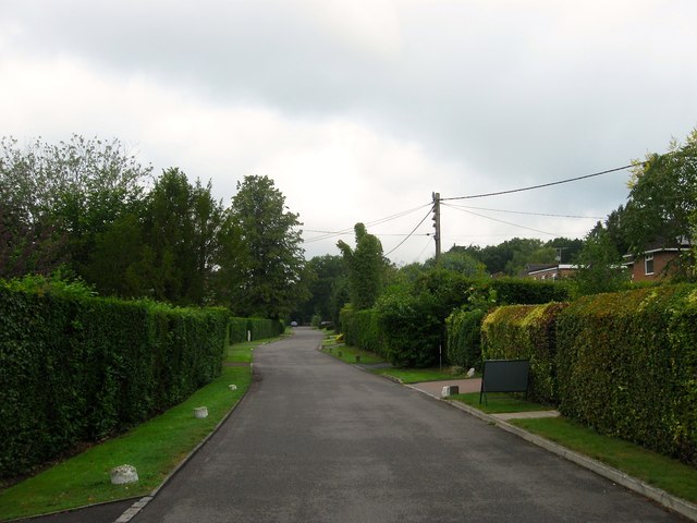
Image: © Simon Carey Taken: 15 Aug 2015
A private road off High Beech Lane that was developed in the 1930s though only four residences were completed by the outbreak of the Second World War. Much of the rest was completed in the aftermath of the conflict. Built on a former field called Murvills Leg according to Lindfield's 1845 tithe map.
Images are licensed for reuse under creativecommons.org/licenses/by-sa/2.0
Image Location
Latitude
51.01597
Longitude
-0.096318