Weavers Road, Tring
Introduction
The photograph on this page of Weavers Road, Tring by Chris Reynolds as part of the Geograph project.
The Geograph project started in 2005 with the aim of publishing, organising and preserving representative images for every square kilometre of Great Britain, Ireland and the Isle of Man.

There are currently over 7.5m images from over 14,400 individuals and you can help contribute to the project by visiting https://www.geograph.org.uk
Weavers Road, Tring
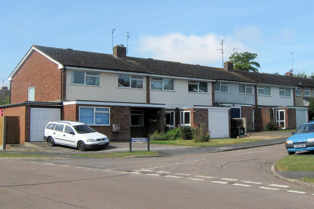
Image: © Chris Reynolds Taken: 11 Sep 2009
Weavers Road is a cul-de-sac with three pairs of semi-detached houses on each side. One house has converted the original garage to a room, and built a garage on the side. Most properties on the estate do not have sufficient room for this to happen.
Images are licensed for reuse under creativecommons.org/licenses/by-sa/2.0
Image Location
Latitude
51.79478
Longitude
-0.675796