Stone houses at the southern edge of Wharram le Street
Introduction
The photograph on this page of Stone houses at the southern edge of Wharram le Street by David Smith as part of the Geograph project.
The Geograph project started in 2005 with the aim of publishing, organising and preserving representative images for every square kilometre of Great Britain, Ireland and the Isle of Man.

There are currently over 7.5m images from over 14,400 individuals and you can help contribute to the project by visiting https://www.geograph.org.uk
Stone houses at the southern edge of Wharram le Street
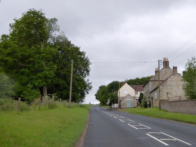
Image: © David Smith Taken: 19 Jun 2015
The B1248 on the edge of the village
Images are licensed for reuse under creativecommons.org/licenses/by-sa/2.0
Image Location
Latitude
54.082307
Longitude
-0.679732