Upper Furze Field/Great Furze Field
Introduction
The photograph on this page of Upper Furze Field/Great Furze Field by Simon Carey as part of the Geograph project.
The Geograph project started in 2005 with the aim of publishing, organising and preserving representative images for every square kilometre of Great Britain, Ireland and the Isle of Man.

There are currently over 7.5m images from over 14,400 individuals and you can help contribute to the project by visiting https://www.geograph.org.uk
Upper Furze Field/Great Furze Field
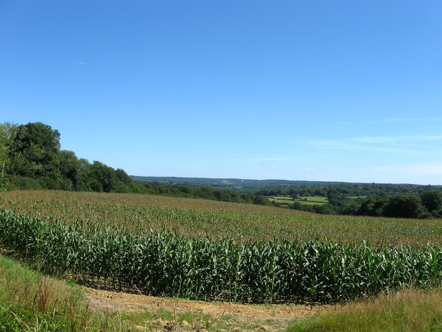
Image: © Simon Carey Taken: 9 Aug 2015
The name of the fields according to Lindfield's 1845 tithe map that have been combined to form a larger unit. Upper Furze Field was in the foreground whilst Great Furze Field was located further down the slope as it heads towards the small valley containing Cockhaise Brook. The spire of Horsted Keynes church is just visible whilst beyond it is the wooded areas of the High Weald.
Images are licensed for reuse under creativecommons.org/licenses/by-sa/2.0
Image Location
Latitude
51.029484
Longitude
-0.054121