The Big Levels/The Brooks
Introduction
The photograph on this page of The Big Levels/The Brooks by Simon Carey as part of the Geograph project.
The Geograph project started in 2005 with the aim of publishing, organising and preserving representative images for every square kilometre of Great Britain, Ireland and the Isle of Man.

There are currently over 7.5m images from over 14,400 individuals and you can help contribute to the project by visiting https://www.geograph.org.uk
The Big Levels/The Brooks
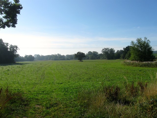
Image: © Simon Carey Taken: 9 Aug 2015
The name of the fields according to Lindfield's 1845 tithe map that have been merged to form a larger unit. The Big Levels were in the foreground adjacent to East Mascalls Lane whilst The brooks were at the eastern end, the lone tree in the distance the remnant of the former hedgerow that separated the two. The field is part of the Ouse flood plain with the river running along the northern side and a tributary, Scrase Stream to the south. The meandering course of the latter suggests it may have been the original course of the river prior to at least the construction of the Ouse navigation in the early 19th century though the issue is complicated by the existence of East Mascall Mill which preceded the canal.
Images are licensed for reuse under creativecommons.org/licenses/by-sa/2.0
Image Location
Latitude
51.009833
Longitude
-0.051379