Site of Home Copse
Introduction
The photograph on this page of Site of Home Copse by Simon Carey as part of the Geograph project.
The Geograph project started in 2005 with the aim of publishing, organising and preserving representative images for every square kilometre of Great Britain, Ireland and the Isle of Man.

There are currently over 7.5m images from over 14,400 individuals and you can help contribute to the project by visiting https://www.geograph.org.uk
Site of Home Copse
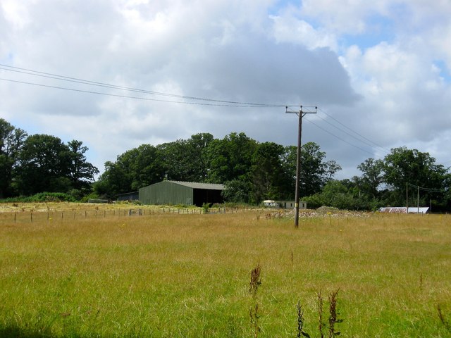
Image: © Simon Carey Taken: 4 Aug 2015
On Lindfield's 1845 tithe map Home Copse extended up to the road from Image However, only a small square wood remains, see Image, with the northern part renamed, see Image, and this section completely grubbed by the time of the 1875 OS map. Now part of Renkum Stud Farm.
Images are licensed for reuse under creativecommons.org/licenses/by-sa/2.0
Image Location
Latitude
51.000856
Longitude
-0.063158