Lane to West Appleton
Introduction
The photograph on this page of Lane to West Appleton by Gordon Hatton as part of the Geograph project.
The Geograph project started in 2005 with the aim of publishing, organising and preserving representative images for every square kilometre of Great Britain, Ireland and the Isle of Man.

There are currently over 7.5m images from over 14,400 individuals and you can help contribute to the project by visiting https://www.geograph.org.uk
Lane to West Appleton
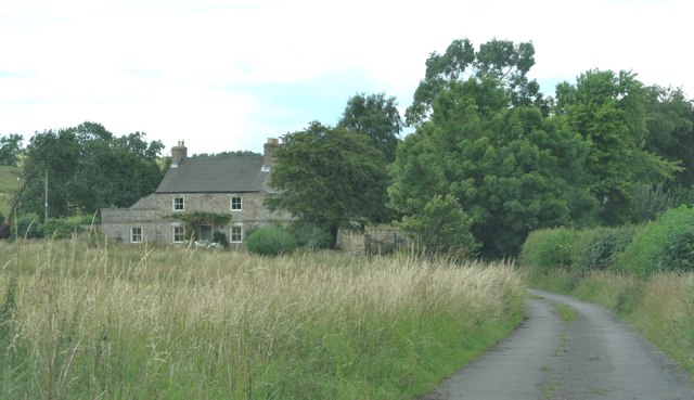
Image: © Gordon Hatton Taken: 29 Jul 2015
This is a curious little lane which is just shown as a road or track on the OS map, but would appear to have once been the connection between Hornby and Tunstall. Possibly it is a county road, although from West Appleton Farm it is shown as a bridleway. A few minutes after this photograph was taken a motorist asked me if he could drive to Catterick Garrison this way as it was shown on his satnav!
Images are licensed for reuse under creativecommons.org/licenses/by-sa/2.0
Image Location
Latitude
54.343853
Longitude
-1.657403