Main Street, Helperby
Introduction
The photograph on this page of Main Street, Helperby by Chris Heaton as part of the Geograph project.
The Geograph project started in 2005 with the aim of publishing, organising and preserving representative images for every square kilometre of Great Britain, Ireland and the Isle of Man.

There are currently over 7.5m images from over 14,400 individuals and you can help contribute to the project by visiting https://www.geograph.org.uk
Main Street, Helperby
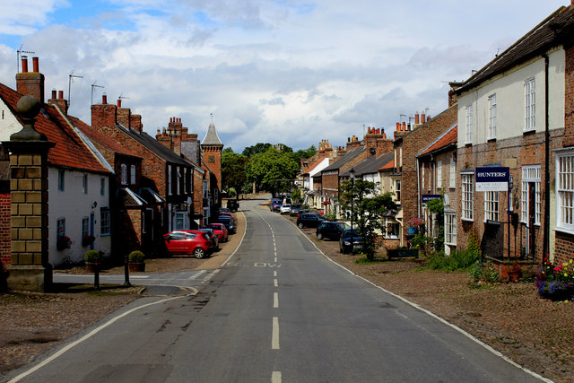
Image: © Chris Heaton Taken: 30 Jul 2015
Heading north through the village of Helperby along Main Street - often referred to as Brafferton Helperby, two separate communities so close together that it gives the appearance of one village. To avoid confusion Helperby is the southern portion.
Images are licensed for reuse under creativecommons.org/licenses/by-sa/2.0
Image Location
Latitude
54.123003
Longitude
-1.3295