Down Ffordd Dysgu, Maesteg
Introduction
The photograph on this page of Down Ffordd Dysgu, Maesteg by Jaggery as part of the Geograph project.
The Geograph project started in 2005 with the aim of publishing, organising and preserving representative images for every square kilometre of Great Britain, Ireland and the Isle of Man.

There are currently over 7.5m images from over 14,400 individuals and you can help contribute to the project by visiting https://www.geograph.org.uk
Down Ffordd Dysgu, Maesteg
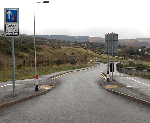
Image: © Jaggery Taken: 30 Oct 2014
Ffordd Dysgu descends towards Crown Road from the main entrance http://www.geograph.org.uk/photo/4590671 to Maesteg School. Vehicles descending through the short narrowing of the roadway here have priority over oncoming traffic.
Images are licensed for reuse under creativecommons.org/licenses/by-sa/2.0
Image Location
Latitude
51.611309
Longitude
-3.652962