Orange Way direction signs, Pembroke
Introduction
The photograph on this page of Orange Way direction signs, Pembroke by Jaggery as part of the Geograph project.
The Geograph project started in 2005 with the aim of publishing, organising and preserving representative images for every square kilometre of Great Britain, Ireland and the Isle of Man.

There are currently over 7.5m images from over 14,400 individuals and you can help contribute to the project by visiting https://www.geograph.org.uk
Orange Way direction signs, Pembroke
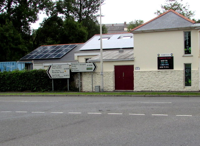
Image: © Jaggery Taken: 21 Jul 2015
Located alongside Foundry House Community Centre http://www.geograph.org.uk/photo/4580770 facing the B4319 St Daniel's Hill. Left for Pembroke town centre, Pembroke Dock and Haverfordwest. Right for Tenby and St Clears.
Images are licensed for reuse under creativecommons.org/licenses/by-sa/2.0
Image Location
Latitude
51.673149
Longitude
-4.912256