Redness Point
Introduction
The photograph on this page of Redness Point by James T M Towill as part of the Geograph project.
The Geograph project started in 2005 with the aim of publishing, organising and preserving representative images for every square kilometre of Great Britain, Ireland and the Isle of Man.

There are currently over 7.5m images from over 14,400 individuals and you can help contribute to the project by visiting https://www.geograph.org.uk
Redness Point
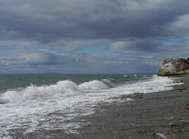
Image: © James T M Towill Taken: 19 Jul 2015
Accessed by a short walk from Whitehaven Harbour, this view near Redness Point also takes in a backdrop of the Kirkcudbrightshire hills across the Solway Firth.
Images are licensed for reuse under creativecommons.org/licenses/by-sa/2.0
Image Location
Latitude
54.557216
Longitude
-3.589879