Cycle route from Cymmer reaches Croeserw
Introduction
The photograph on this page of Cycle route from Cymmer reaches Croeserw by Jaggery as part of the Geograph project.
The Geograph project started in 2005 with the aim of publishing, organising and preserving representative images for every square kilometre of Great Britain, Ireland and the Isle of Man.

There are currently over 7.5m images from over 14,400 individuals and you can help contribute to the project by visiting https://www.geograph.org.uk
Cycle route from Cymmer reaches Croeserw
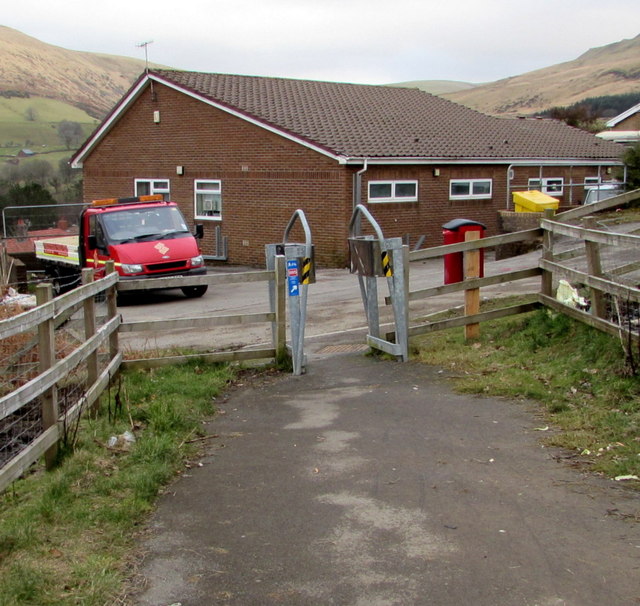
Image: © Jaggery Taken: 18 Feb 2015
Looking east along National Cycle Network route 885.
Images are licensed for reuse under creativecommons.org/licenses/by-sa/2.0
Image Location
Latitude
51.647642
Longitude
-3.63983