Venterdon Pond
Introduction
The photograph on this page of Venterdon Pond by Des Blenkinsopp as part of the Geograph project.
The Geograph project started in 2005 with the aim of publishing, organising and preserving representative images for every square kilometre of Great Britain, Ireland and the Isle of Man.

There are currently over 7.5m images from over 14,400 individuals and you can help contribute to the project by visiting https://www.geograph.org.uk
Venterdon Pond
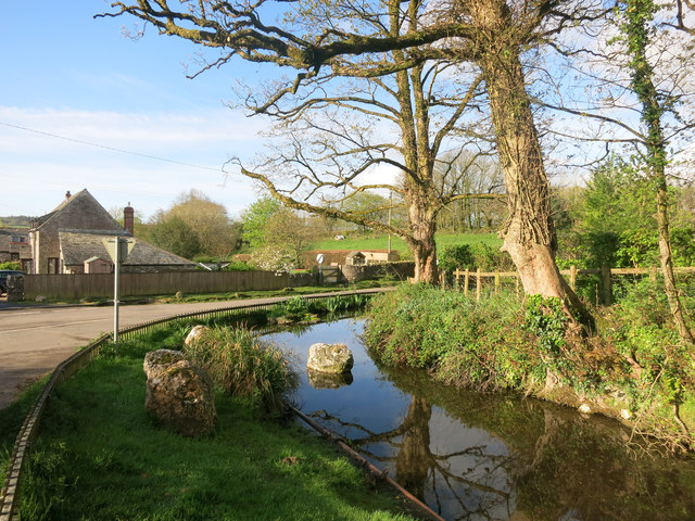
Image: © Des Blenkinsopp Taken: 28 Apr 2015
The same pond as in Image but from a slightly different angle. This is shown as a Well on the map for some reason.
Images are licensed for reuse under creativecommons.org/licenses/by-sa/2.0
Image Location
Latitude
50.549212
Longitude
-4.319213