The Forge (86a) Upper Village Road under construction
Introduction
The photograph on this page of The Forge (86a) Upper Village Road under construction by Mick Crawley as part of the Geograph project.
The Geograph project started in 2005 with the aim of publishing, organising and preserving representative images for every square kilometre of Great Britain, Ireland and the Isle of Man.

There are currently over 7.5m images from over 14,400 individuals and you can help contribute to the project by visiting https://www.geograph.org.uk
The Forge (86a) Upper Village Road under construction
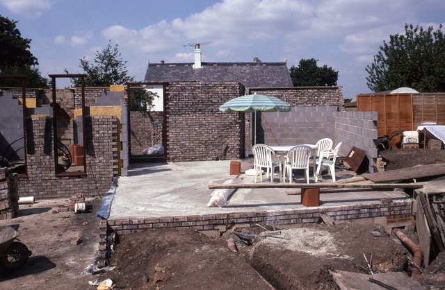
Image: © Mick Crawley Taken: 16 Jul 1996
In July 1996 the floor was laid out and the builders had installed a picnic area in what was to be the kitchen
Images are licensed for reuse under creativecommons.org/licenses/by-sa/2.0
Image Location
Latitude
51.402457
Longitude
-0.659266