Pearment's Farm
Introduction
The photograph on this page of Pearment's Farm by Simon Carey as part of the Geograph project.
The Geograph project started in 2005 with the aim of publishing, organising and preserving representative images for every square kilometre of Great Britain, Ireland and the Isle of Man.

There are currently over 7.5m images from over 14,400 individuals and you can help contribute to the project by visiting https://www.geograph.org.uk
Pearment's Farm
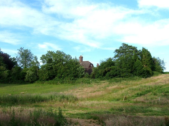
Image: © Simon Carey Taken: 4 Jul 2015
Dating from the early 17th century and formerly known as Perrymans. Originally part of Ardingly transferred it was transferred to Balcombe during the 1930s.
Images are licensed for reuse under creativecommons.org/licenses/by-sa/2.0
Image Location
Latitude
51.056641
Longitude
-0.108777