Pen Heol Rhyn
Introduction
The photograph on this page of Pen Heol Rhyn by Alan Richards as part of the Geograph project.
The Geograph project started in 2005 with the aim of publishing, organising and preserving representative images for every square kilometre of Great Britain, Ireland and the Isle of Man.

There are currently over 7.5m images from over 14,400 individuals and you can help contribute to the project by visiting https://www.geograph.org.uk
Pen Heol Rhyn
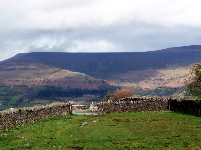
Image: © Alan Richards Taken: 22 Apr 2012
Llwybr ceffyl ger anhedd-dy o'r enw Pen Heol Rhyn. The Black Mountains can be seen in the distance. Bridleway near a property called Pen Heol Rhyn < Pen Heol yr Ynn? (trans. top of the road of the ash trees?).
Images are licensed for reuse under creativecommons.org/licenses/by-sa/2.0
Image Location


Leaflet Map data © OpenStreetMap
Latitude
51.857142
Longitude
-3.201643