Ramsgate Harbour
Introduction
The photograph on this page of Ramsgate Harbour by Keith Edkins as part of the Geograph project.
The Geograph project started in 2005 with the aim of publishing, organising and preserving representative images for every square kilometre of Great Britain, Ireland and the Isle of Man.

There are currently over 7.5m images from over 14,400 individuals and you can help contribute to the project by visiting https://www.geograph.org.uk
Ramsgate Harbour
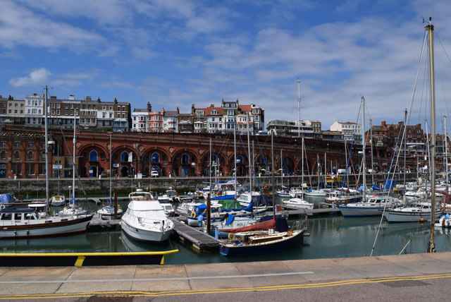
Image: © Keith Edkins Taken: 23 Jun 2015
The arcading and balustrading in red brick and terracotta, 1893-95, are a Grade II listed structure.
Images are licensed for reuse under creativecommons.org/licenses/by-sa/2.0
Image Location
Latitude
51.330235
Longitude
1.417199