Kit Hill Incline
Introduction
The photograph on this page of Kit Hill Incline by Des Blenkinsopp as part of the Geograph project.
The Geograph project started in 2005 with the aim of publishing, organising and preserving representative images for every square kilometre of Great Britain, Ireland and the Isle of Man.

There are currently over 7.5m images from over 14,400 individuals and you can help contribute to the project by visiting https://www.geograph.org.uk
Kit Hill Incline
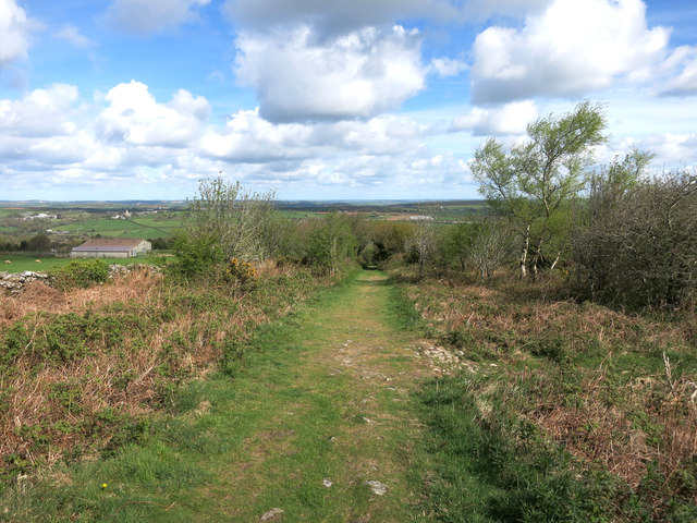
Image: © Des Blenkinsopp Taken: 28 Apr 2015
One of many reminders of the former mining and quarrying industries on Kit Hill. Now one of the access routes into Kit Hill Country Park.
Images are licensed for reuse under creativecommons.org/licenses/by-sa/2.0
Image Location
Latitude
50.526572
Longitude
-4.295244