A40 at Danyrallt
Introduction
The photograph on this page of A40 at Danyrallt by Derek Harper as part of the Geograph project.
The Geograph project started in 2005 with the aim of publishing, organising and preserving representative images for every square kilometre of Great Britain, Ireland and the Isle of Man.

There are currently over 7.5m images from over 14,400 individuals and you can help contribute to the project by visiting https://www.geograph.org.uk
A40 at Danyrallt
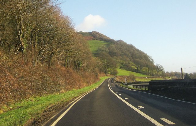
Image: © Derek Harper Taken: 2 Jan 2015
The farm at Danyrallt is just off to the right. Before the right bend ahead, the road has crossed into Image
Images are licensed for reuse under creativecommons.org/licenses/by-sa/2.0
Image Location
Latitude
51.873441
Longitude
-4.210379