Medina Place
Introduction
The photograph on this page of Medina Place by Simon Carey as part of the Geograph project.
The Geograph project started in 2005 with the aim of publishing, organising and preserving representative images for every square kilometre of Great Britain, Ireland and the Isle of Man.

There are currently over 7.5m images from over 14,400 individuals and you can help contribute to the project by visiting https://www.geograph.org.uk
Medina Place
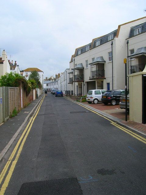
Image: © Simon Carey Taken: 1 Jun 2007
Small backstreet running between Hove Place and Osborne Villas. The older buildings are in the middle with newer small scale terracing to the north and Parnell Flats to the immediate right. The latter are named after Charles Stewart Prnell who lived in nearby Medina Terrace.
Images are licensed for reuse under creativecommons.org/licenses/by-sa/2.0
Image Location
Latitude
50.826202
Longitude
-0.174618