Meadow near Annedd Bach
Introduction
The photograph on this page of Meadow near Annedd Bach by Bob Embleton as part of the Geograph project.
The Geograph project started in 2005 with the aim of publishing, organising and preserving representative images for every square kilometre of Great Britain, Ireland and the Isle of Man.

There are currently over 7.5m images from over 14,400 individuals and you can help contribute to the project by visiting https://www.geograph.org.uk
Meadow near Annedd Bach
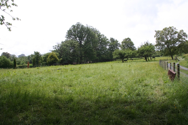
Image: © Bob Embleton Taken: 31 May 2007
The track on the right leads to Annedd Bach which was a ruin for years and was only converted to a private house relatively recently.
Images are licensed for reuse under creativecommons.org/licenses/by-sa/2.0
Image Location
Latitude
51.998244
Longitude
-2.996248