A70, Muirkirk
Introduction
The photograph on this page of A70, Muirkirk by Richard Webb as part of the Geograph project.
The Geograph project started in 2005 with the aim of publishing, organising and preserving representative images for every square kilometre of Great Britain, Ireland and the Isle of Man.

There are currently over 7.5m images from over 14,400 individuals and you can help contribute to the project by visiting https://www.geograph.org.uk
A70, Muirkirk
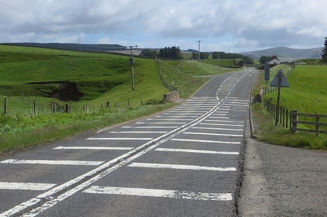
Image: © Richard Webb Taken: 7 Jun 2015
The eastern approaches to Muirkirk. The remains of the bridge on the short-lived (and never opened in its entirety) Spireslack Branch can be seen in the distance.
Images are licensed for reuse under creativecommons.org/licenses/by-sa/2.0
Image Location
Latitude
55.527835
Longitude
-4.049936