Morrowfield Farm
Introduction
The photograph on this page of Morrowfield Farm by Robert Graham as part of the Geograph project.
The Geograph project started in 2005 with the aim of publishing, organising and preserving representative images for every square kilometre of Great Britain, Ireland and the Isle of Man.

There are currently over 7.5m images from over 14,400 individuals and you can help contribute to the project by visiting https://www.geograph.org.uk
Morrowfield Farm
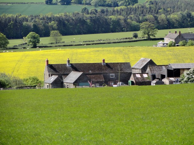
Image: © Robert Graham Taken: 3 Jun 2015
Viewed from the north, from the path leading down from the B6309. Also visible at the right hand side is the neighbouring farm of Fellclose.
Images are licensed for reuse under creativecommons.org/licenses/by-sa/2.0
Image Location
Latitude
54.896502
Longitude
-1.869151