Footpath along the field edge at Hanginstone Hill
Introduction
The photograph on this page of Footpath along the field edge at Hanginstone Hill by Sue Adair as part of the Geograph project.
The Geograph project started in 2005 with the aim of publishing, organising and preserving representative images for every square kilometre of Great Britain, Ireland and the Isle of Man.

There are currently over 7.5m images from over 14,400 individuals and you can help contribute to the project by visiting https://www.geograph.org.uk
Footpath along the field edge at Hanginstone Hill
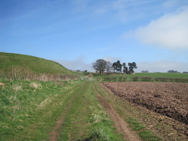
Image: © Sue Adair Taken: 6 Apr 2015
Footpath along the field edge at Hanginstone Hill following the path of Watling Street.
Images are licensed for reuse under creativecommons.org/licenses/by-sa/2.0
Image Location
Latitude
53.215308
Longitude
-2.67938