Green lane north of Garn Fawr
Introduction
The photograph on this page of Green lane north of Garn Fawr by Christopher Hilton as part of the Geograph project.
The Geograph project started in 2005 with the aim of publishing, organising and preserving representative images for every square kilometre of Great Britain, Ireland and the Isle of Man.

There are currently over 7.5m images from over 14,400 individuals and you can help contribute to the project by visiting https://www.geograph.org.uk
Green lane north of Garn Fawr
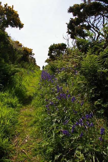
Image: © Christopher Hilton Taken: 28 May 2015
This lane runs between deep hedge banks along the northern slopes of Garn Fawr, from Tan-y-mynydd towards Pwll Deri.
Images are licensed for reuse under creativecommons.org/licenses/by-sa/2.0
Image Location
Latitude
52.010483
Longitude
-5.065293