The Bog Meadows
Introduction
The photograph on this page of The Bog Meadows by Paul McIlroy as part of the Geograph project.
The Geograph project started in 2005 with the aim of publishing, organising and preserving representative images for every square kilometre of Great Britain, Ireland and the Isle of Man.

There are currently over 7.5m images from over 14,400 individuals and you can help contribute to the project by visiting https://www.geograph.org.uk
The Bog Meadows
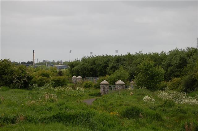
Image: © Paul McIlroy Taken: 18 May 2007
Looking southwest where the floodlights of Casement Park are evident, they appear to be taller than the lights at other sports grounds.Image
Images are licensed for reuse under creativecommons.org/licenses/by-sa/2.0
Image Location


Leaflet Map data © OpenStreetMap
Latitude
54.583658
Longitude
-5.96681