The Elham Valley Way and line of the Elham Valley Railway seen from Duck Street, Elham
Introduction
The photograph on this page of The Elham Valley Way and line of the Elham Valley Railway seen from Duck Street, Elham by Marathon as part of the Geograph project.
The Geograph project started in 2005 with the aim of publishing, organising and preserving representative images for every square kilometre of Great Britain, Ireland and the Isle of Man.

There are currently over 7.5m images from over 14,400 individuals and you can help contribute to the project by visiting https://www.geograph.org.uk
The Elham Valley Way and line of the Elham Valley Railway seen from Duck Street, Elham
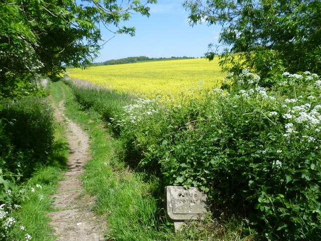
Image: © Marathon Taken: 27 May 2015
The Elham Valley Way which connects Canterbury to Hythe follows the line of the old Elham Valley Railway here. Elham station was just behind where I am standing, on the other side of Duck Street. The line opened in 1887 and closed to passengers in 1940, closing completely in 1947. All the information about the Elham Valley Railway and Elham station is given here http://www.disused-stations.org.uk/e/elham/index.shtml Just to the left of the path is the Nail Bourne. The Nail Bourne flows from Lyminge, through the Elham Valley until it becomes known as the Little Stour at Littlebourne. Whilst the stream often holds a plentiful supply of water from Lyminge to Elham throughout the year, it apparently rarely holds any water from Elham to Bishopsbourne even in the winter months. Certainly when I was there in December 2013 it was completely dry, but at Easter 2015 though it was flowing fast and clear to the north of Bishopsbourne - see http://www.geograph.org.uk/photo/4417306
Images are licensed for reuse under creativecommons.org/licenses/by-sa/2.0
Image Location
Latitude
51.152842
Longitude
1.114865