Cycle path mile marker
Introduction
The photograph on this page of Cycle path mile marker by Thomas Nugent as part of the Geograph project.
The Geograph project started in 2005 with the aim of publishing, organising and preserving representative images for every square kilometre of Great Britain, Ireland and the Isle of Man.

There are currently over 7.5m images from over 14,400 individuals and you can help contribute to the project by visiting https://www.geograph.org.uk
Cycle path mile marker
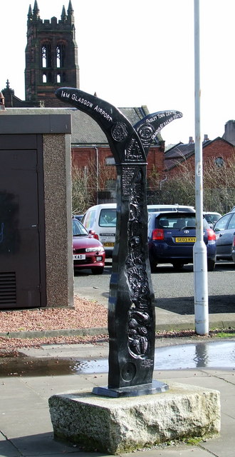
Image: © Thomas Nugent Taken: 5 Mar 2007
By Paisley Ring Road. Left for Glasgow Airport, right for Paisley Town Centre and Gilmour Street Railway Station.
Images are licensed for reuse under creativecommons.org/licenses/by-sa/2.0
Image Location
Latitude
55.848706
Longitude
-4.424016