Ger / Near Popton
Introduction
The photograph on this page of Ger / Near Popton by Alan Richards as part of the Geograph project.
The Geograph project started in 2005 with the aim of publishing, organising and preserving representative images for every square kilometre of Great Britain, Ireland and the Isle of Man.

There are currently over 7.5m images from over 14,400 individuals and you can help contribute to the project by visiting https://www.geograph.org.uk
Ger / Near Popton
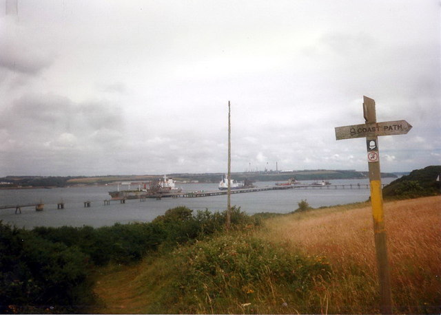
Image: © Alan Richards Taken: 29 Jul 1997
Llwybr yr arfordir ger Caer Popton. Yn y pellter mae glanfa Purfa Olew Texaco. Coastal path near Popton Fort. In the distance is the Texaco Oil Refinery jetty.
Images are licensed for reuse under creativecommons.org/licenses/by-sa/2.0
Image Location
Latitude
51.691856
Longitude
-5.046885