Terraced Houses at Durrington
Introduction
The photograph on this page of Terraced Houses at Durrington by Nigel Mykura as part of the Geograph project.
The Geograph project started in 2005 with the aim of publishing, organising and preserving representative images for every square kilometre of Great Britain, Ireland and the Isle of Man.

There are currently over 7.5m images from over 14,400 individuals and you can help contribute to the project by visiting https://www.geograph.org.uk
Terraced Houses at Durrington
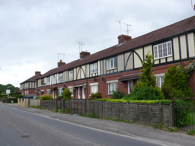
Image: © Nigel Mykura Taken: 23 Jun 2013
These red brick and mock half timbered terraced houses are on the extreme eastern edge of Durrington on the A345, the Netheravon road.
Images are licensed for reuse under creativecommons.org/licenses/by-sa/2.0
Image Location
Latitude
51.200146
Longitude
-1.783975