Corner of Station Road and Brookfield Road, Patchway
Introduction
The photograph on this page of Corner of Station Road and Brookfield Road, Patchway by Jaggery as part of the Geograph project.
The Geograph project started in 2005 with the aim of publishing, organising and preserving representative images for every square kilometre of Great Britain, Ireland and the Isle of Man.

There are currently over 7.5m images from over 14,400 individuals and you can help contribute to the project by visiting https://www.geograph.org.uk
Corner of Station Road and Brookfield Road, Patchway
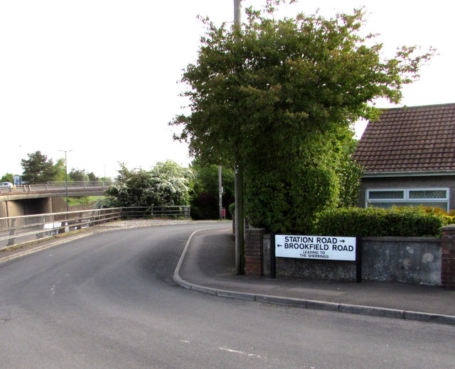
Image: © Jaggery Taken: 13 May 2015
Brookfield Road on the left leads to The Sherrings. The A38 Gloucester Road is at the left edge of the view, at a slightly lower level.
Images are licensed for reuse under creativecommons.org/licenses/by-sa/2.0
Image Location


Leaflet Map data © OpenStreetMap
Latitude
51.533008
Longitude
-2.568255