Braintree Road
Introduction
The photograph on this page of Braintree Road by Julian P Guffogg as part of the Geograph project.
The Geograph project started in 2005 with the aim of publishing, organising and preserving representative images for every square kilometre of Great Britain, Ireland and the Isle of Man.

There are currently over 7.5m images from over 14,400 individuals and you can help contribute to the project by visiting https://www.geograph.org.uk
Braintree Road
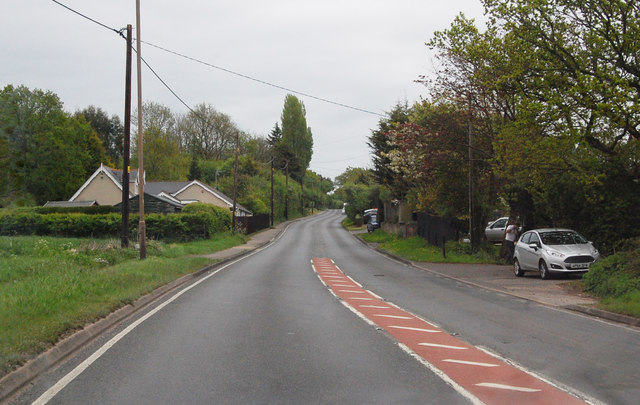
Image: © Julian P Guffogg Taken: 8 May 2015
B1256 heading out of Great Dunmow. The road follows the line of the Roman Road Stone Street, which presumably ran to Colchester.
Images are licensed for reuse under creativecommons.org/licenses/by-sa/2.0
Image Location
Latitude
51.873202
Longitude
0.379855