Forth and Clyde Canal near Camelon
Introduction
The photograph on this page of Forth and Clyde Canal near Camelon by Robert Murray as part of the Geograph project.
The Geograph project started in 2005 with the aim of publishing, organising and preserving representative images for every square kilometre of Great Britain, Ireland and the Isle of Man.

There are currently over 7.5m images from over 14,400 individuals and you can help contribute to the project by visiting https://www.geograph.org.uk
Forth and Clyde Canal near Camelon
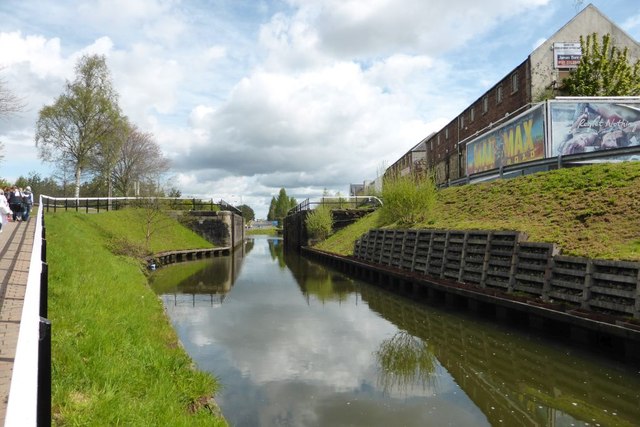
Image: © Robert Murray Taken: 9 May 2015
This was once the site of Lock 11, hence the high bankings. It may be that it was remove to lower the water level as the canal passes under Camelon Road. The lock at Bainsford Bridge could have been installed to compensate for the loss of this lock. See Image
Images are licensed for reuse under creativecommons.org/licenses/by-sa/2.0
Image Location
Latitude
56.002514
Longitude
-3.804126