Field with footpath, Kirby Bellars
Introduction
The photograph on this page of Field with footpath, Kirby Bellars by Alan Murray-Rust as part of the Geograph project.
The Geograph project started in 2005 with the aim of publishing, organising and preserving representative images for every square kilometre of Great Britain, Ireland and the Isle of Man.

There are currently over 7.5m images from over 14,400 individuals and you can help contribute to the project by visiting https://www.geograph.org.uk
Field with footpath, Kirby Bellars
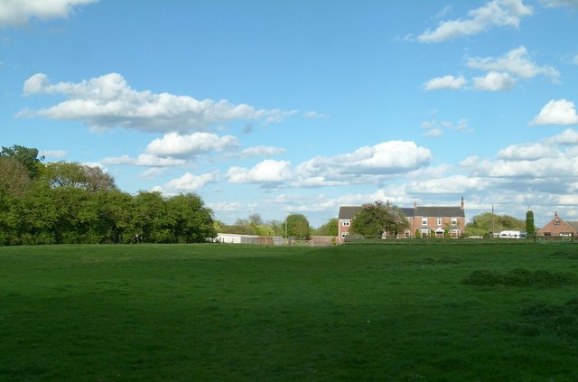
Image: © Alan Murray-Rust Taken: 28 Apr 2015
Looking towards Main Street. There are earthworks in the field which probably represent remains of the medieval village, once significantly larger than the present village.
Images are licensed for reuse under creativecommons.org/licenses/by-sa/2.0
Image Location
Latitude
52.754416
Longitude
-0.939232