Windle Brook, Bagshot
Introduction
The photograph on this page of Windle Brook, Bagshot by Len Williams as part of the Geograph project.
The Geograph project started in 2005 with the aim of publishing, organising and preserving representative images for every square kilometre of Great Britain, Ireland and the Isle of Man.

There are currently over 7.5m images from over 14,400 individuals and you can help contribute to the project by visiting https://www.geograph.org.uk
Windle Brook, Bagshot
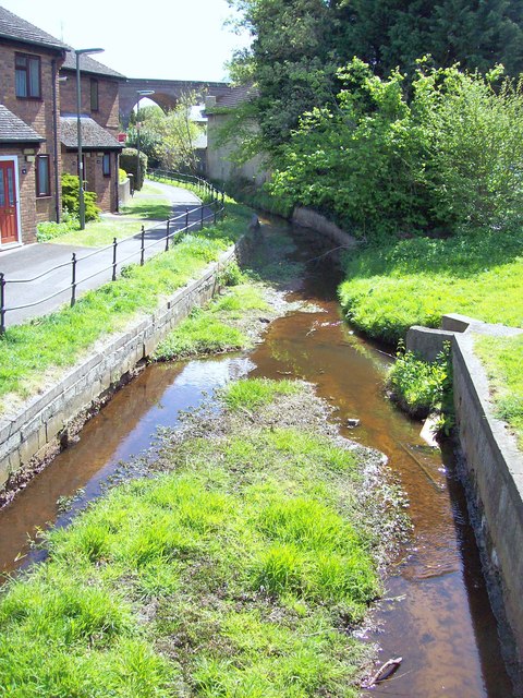
Image: © Len Williams Taken: 28 Apr 2015
The Windle Brook originates in Swinley Forest and passes through Bagshot Park and the centre of Bagshot as shown in this picture. Further on it changes its name to ‘Hale Bourne’ before finally flowing into the River Bourne. A better view of the railway viaduct, which can be seen in the distance, can be seen in picture Image
Images are licensed for reuse under creativecommons.org/licenses/by-sa/2.0
Image Location
Latitude
51.362081
Longitude
-0.69104