Downstream along Afon Marlas near Ammanford
Introduction
The photograph on this page of Downstream along Afon Marlas near Ammanford by Jaggery as part of the Geograph project.
The Geograph project started in 2005 with the aim of publishing, organising and preserving representative images for every square kilometre of Great Britain, Ireland and the Isle of Man.

There are currently over 7.5m images from over 14,400 individuals and you can help contribute to the project by visiting https://www.geograph.org.uk
Downstream along Afon Marlas near Ammanford
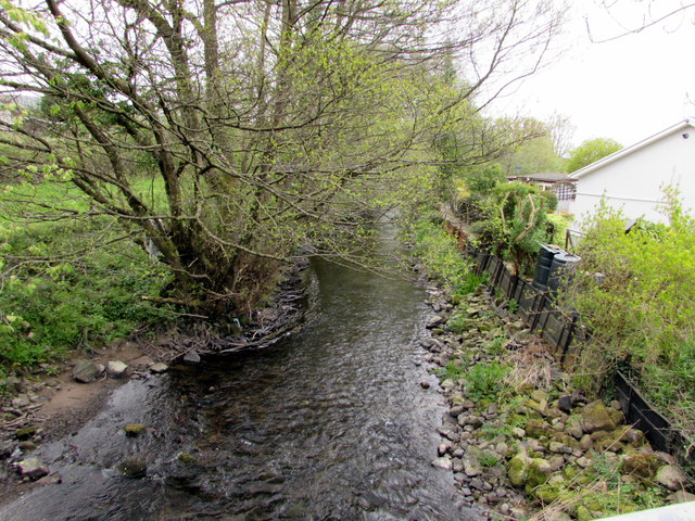
Image: © Jaggery Taken: 1 May 2015
Viewed from this http://www.geograph.org.uk/photo/4457298 Aberlash Road bridge, the Marlas flows towards its confluence with the River Loughor.
Images are licensed for reuse under creativecommons.org/licenses/by-sa/2.0
Image Location
Latitude
51.803701
Longitude
-3.997076