Offa's Dyke Path diverges from Staunton Road near Monmouth
Introduction
The photograph on this page of Offa's Dyke Path diverges from Staunton Road near Monmouth by Jaggery as part of the Geograph project.
The Geograph project started in 2005 with the aim of publishing, organising and preserving representative images for every square kilometre of Great Britain, Ireland and the Isle of Man.

There are currently over 7.5m images from over 14,400 individuals and you can help contribute to the project by visiting https://www.geograph.org.uk
Offa's Dyke Path diverges from Staunton Road near Monmouth
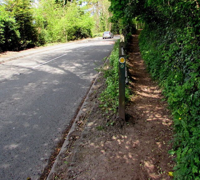
Image: © Jaggery Taken: 26 Apr 2015
The path is one of several walking routes up to the top of Kymin Hill, about 800 ft (c 240 metres) above sea level. The path here is less than 130 ft (c 40 metres) above sea level, so a steep ascent lies ahead.
Images are licensed for reuse under creativecommons.org/licenses/by-sa/2.0
Image Location
Latitude
51.810643
Longitude
-2.704174