Rumble strips north of East Sherford Cross
Introduction
The photograph on this page of Rumble strips north of East Sherford Cross by David Smith as part of the Geograph project.
The Geograph project started in 2005 with the aim of publishing, organising and preserving representative images for every square kilometre of Great Britain, Ireland and the Isle of Man.

There are currently over 7.5m images from over 14,400 individuals and you can help contribute to the project by visiting https://www.geograph.org.uk
Rumble strips north of East Sherford Cross
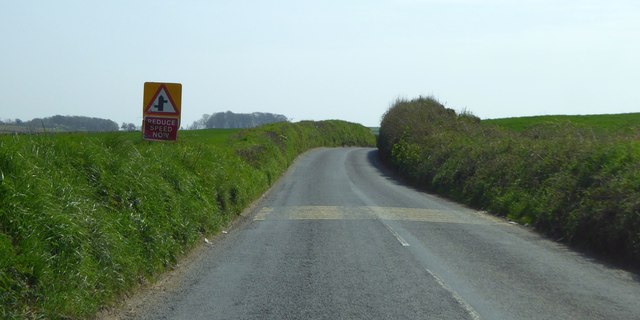
Image: © David Smith Taken: 16 Apr 2015
The sign warns of two road junctions ahead. That from the left has very poor visibility at the junction; it is (supposedly) limited to local farm traffic
Images are licensed for reuse under creativecommons.org/licenses/by-sa/2.0
Image Location
Latitude
50.368433
Longitude
-4.040522