Villa Street, Walworth: north end
Introduction
The photograph on this page of Villa Street, Walworth: north end by Stephen Craven as part of the Geograph project.
The Geograph project started in 2005 with the aim of publishing, organising and preserving representative images for every square kilometre of Great Britain, Ireland and the Isle of Man.

There are currently over 7.5m images from over 14,400 individuals and you can help contribute to the project by visiting https://www.geograph.org.uk
Villa Street, Walworth: north end
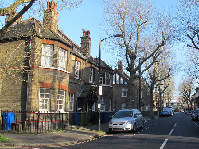
Image: © Stephen Craven Taken: 14 Apr 2015
Villa Street runs north-south for about 400 metres through Walworth, and along its length can be seen a variety of housing from the mid-19th to late 20th century. The oldest houses are at the northern end as seen here.
Images are licensed for reuse under creativecommons.org/licenses/by-sa/2.0
Image Location
Latitude
51.487529
Longitude
-0.088985