River Weaver Way
Introduction
The photograph on this page of River Weaver Way by Stephen Burton as part of the Geograph project.
The Geograph project started in 2005 with the aim of publishing, organising and preserving representative images for every square kilometre of Great Britain, Ireland and the Isle of Man.

There are currently over 7.5m images from over 14,400 individuals and you can help contribute to the project by visiting https://www.geograph.org.uk
River Weaver Way
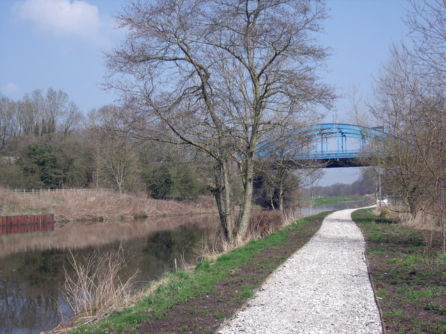
Image: © Stephen Burton Taken: 9 Apr 2015
This section of footpath between Hartford Bridge and Valeroyal Locks is undergoing improvements, although the work will give easier access a lot of our footpaths are being sanitised and a little bit of adventure is lost forever.
Images are licensed for reuse under creativecommons.org/licenses/by-sa/2.0
Image Location
Latitude
53.236825
Longitude
-2.531242