Priory Way, Haywards Heath
Introduction
The photograph on this page of Priory Way, Haywards Heath by Simon Carey as part of the Geograph project.
The Geograph project started in 2005 with the aim of publishing, organising and preserving representative images for every square kilometre of Great Britain, Ireland and the Isle of Man.

There are currently over 7.5m images from over 14,400 individuals and you can help contribute to the project by visiting https://www.geograph.org.uk
Priory Way, Haywards Heath
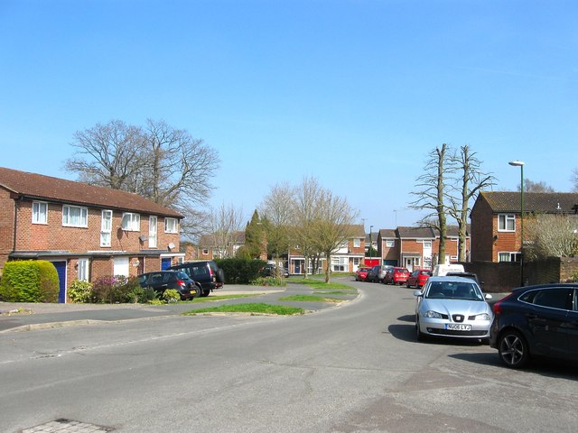
Image: © Simon Carey Taken: 7 Apr 2015
A residential road that runs from Western Road to the former priory buildings. According to Cuckfield's 1843 tithe map this was once Red Lion Field which became part of the grounds of Hazelgrove House then Priory of Our Lady when that replaced the house in the early 1890s. The Priory and its lands were sold in 1977 and the state developed on it.
Images are licensed for reuse under creativecommons.org/licenses/by-sa/2.0
Image Location
Latitude
50.995389
Longitude
-0.09716